Services
Range of offerings that provide
insightful data
Our offerings
AERIAL MAPPING
INSPECTION
PROGRESS MONITORING
VOLUMETRIC
CUSTOM REQUESTS
Aerial Mapping
We offer innovative solutions and utilize cutting edge technology to complete projects on time, underbudget and with great quality.
Reduced field time
Accurate digital twin
Inspection
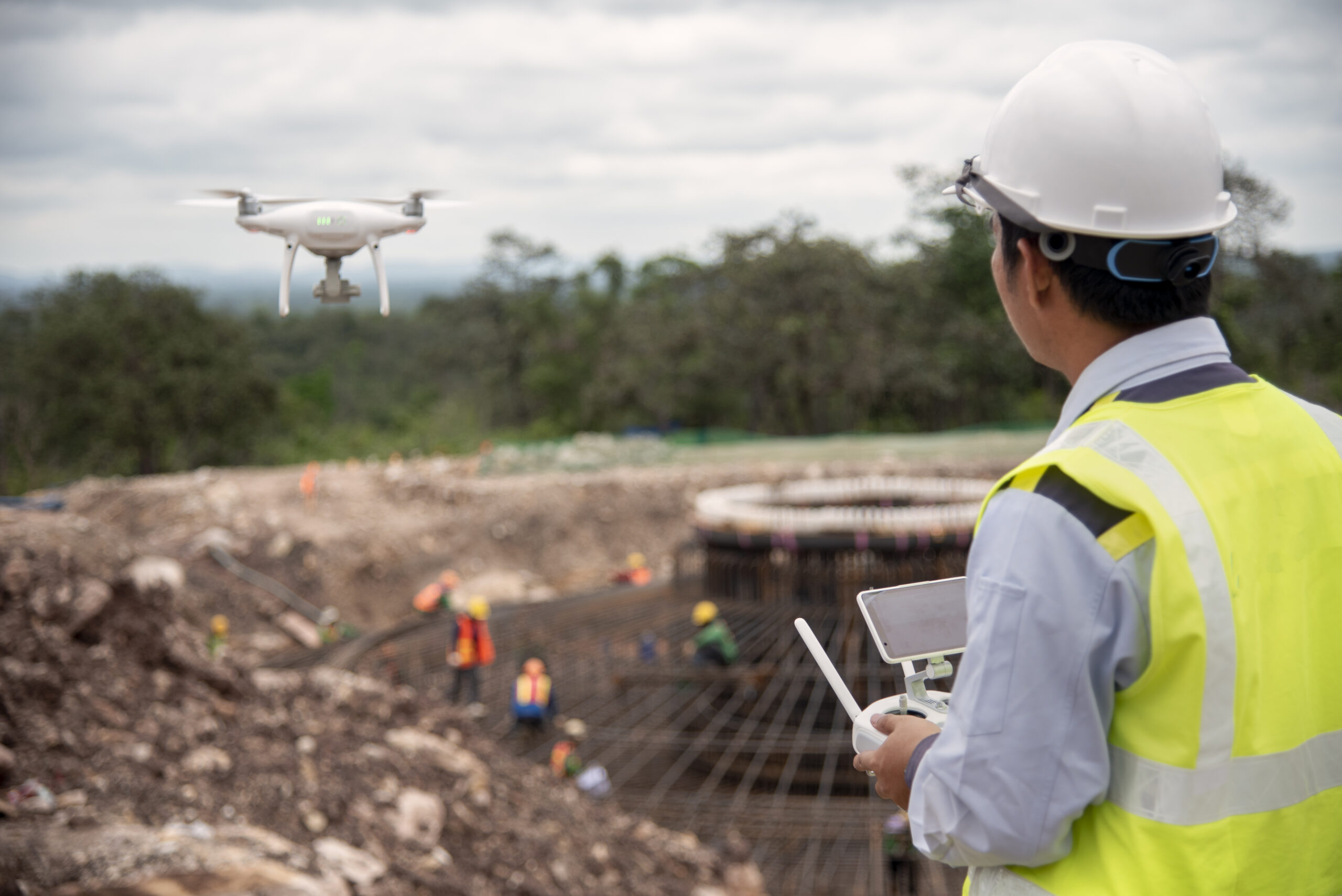
Reduce cost and get the insightful data which adds value to your project. Access high definition images captured by drones, using any device, anywhere.
Inspection of unsafe/inaccessible areas
Reduce inspection cost
Beyond visual inspections
Advanced documentation
Progress Monitoring
We offer unique and remote visibility to all the stakeholders in a project with clear and detailed insights of what’s going on jobsite. Get the bird’s eye view and compare the progress over time.
Harmony among all the stakeholders
Up to date information without site-visits
Real-time progress monitoring & comparison
Flights at regular intervals
Volumetric
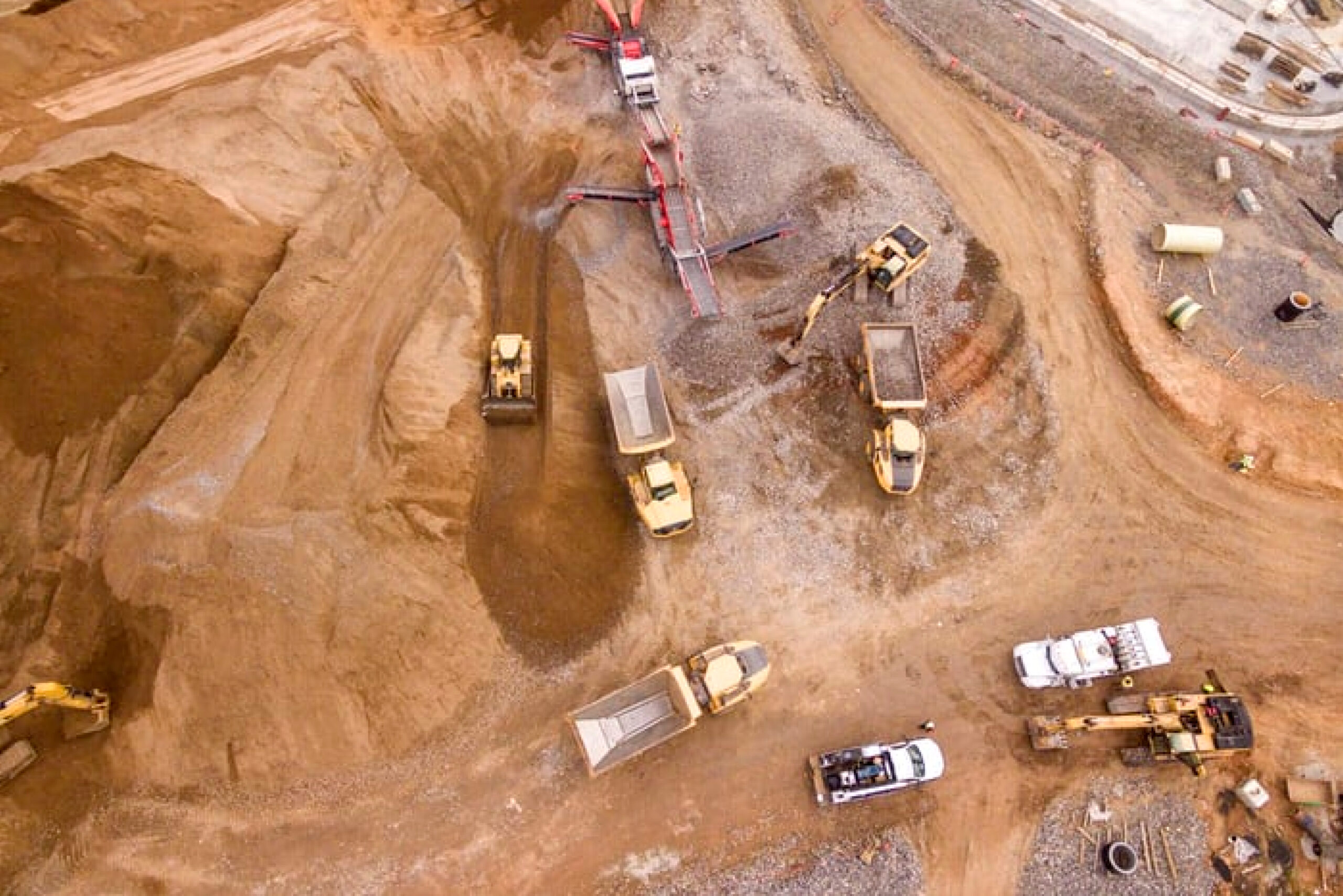
Stockpile management is now quick and affordable. We provide volumetric analysis which are accurate than ‘eyeballing’ and cheaper than traditional surveying. Forecast your finances smartly and avoid costly write-offs.
Verifiable cut and fill volumes at your desk
Visualize areas for efficient planning
Compare volumes on a timeline to measure the usage
Custom Request
We can tailor our services based on your needs. Let us know what you are looking for, and we can assist you to achieve your goals.

Industries
Construction
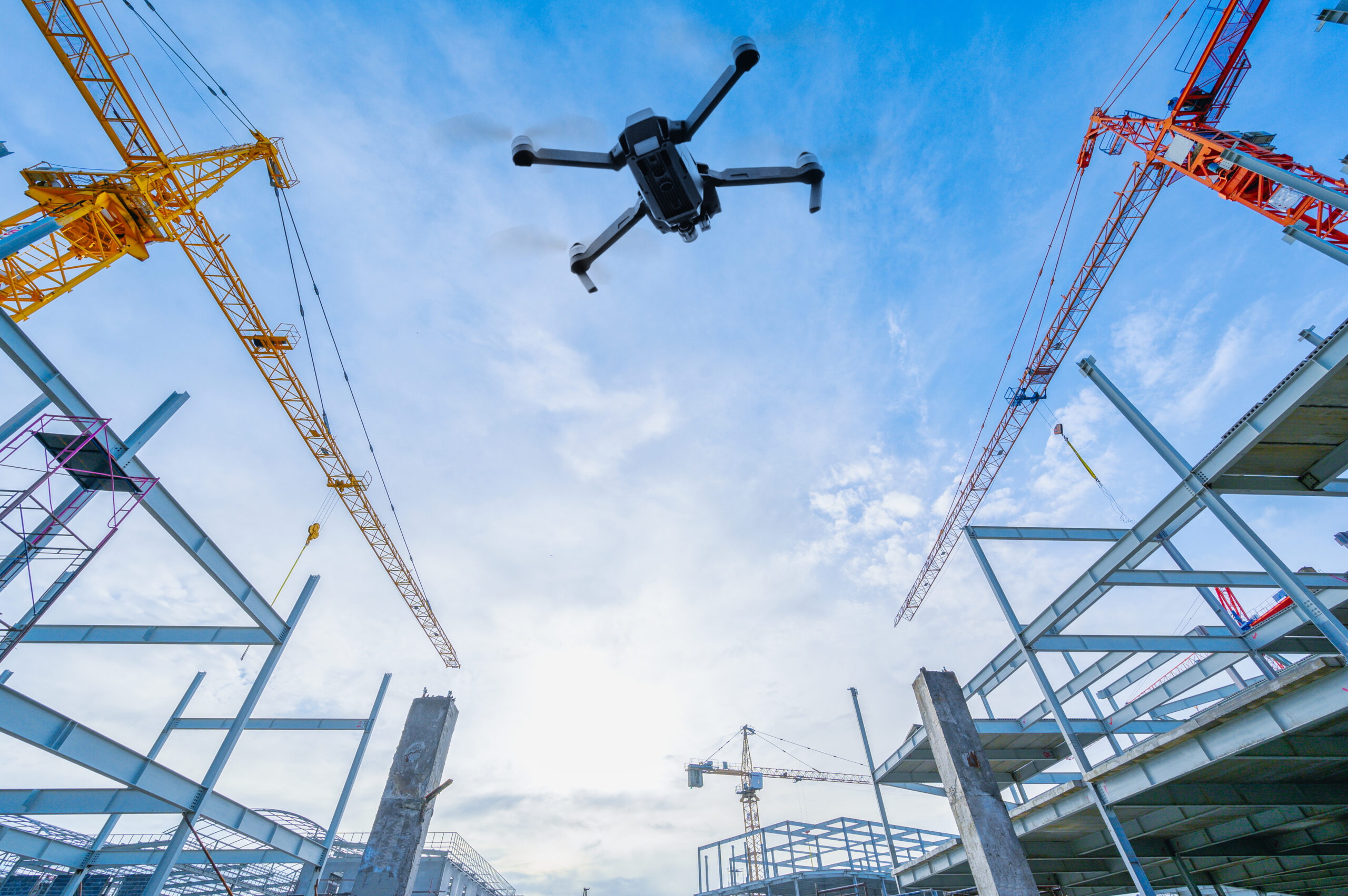
Drones help save time and resources utilized in any construction projects which generally tend to finish late and over budget. Additionally, drones provide rich datasets which keep projects on schedule and under budget.

Infrastructure
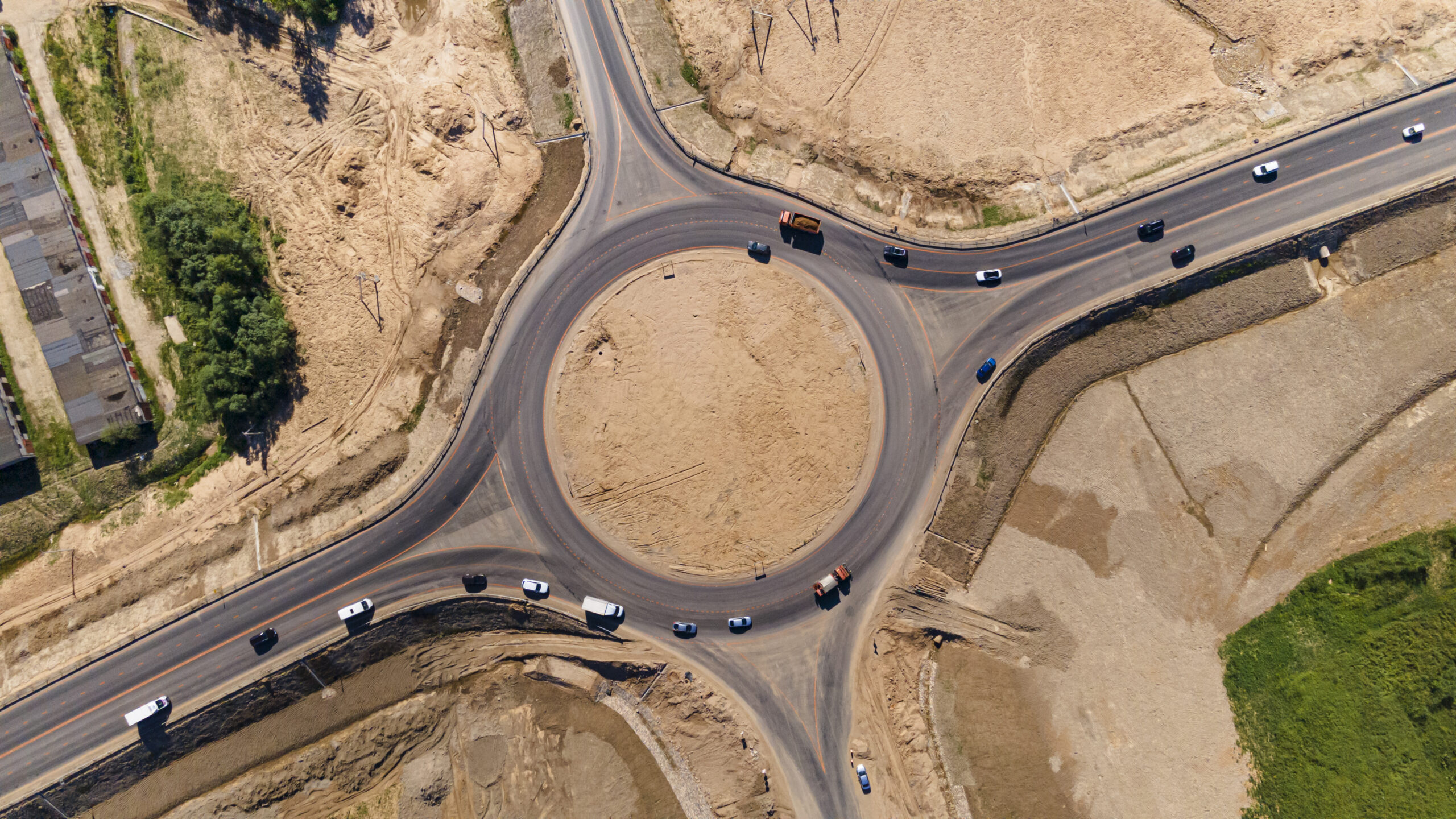
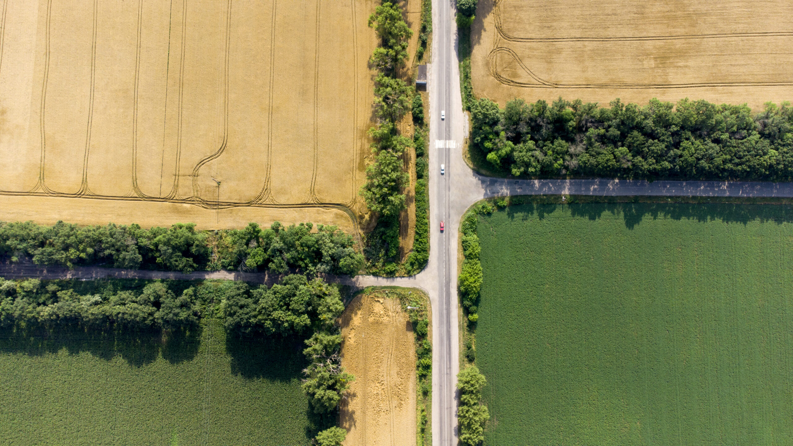
Companies prefer using drones to safely maintain infrastructures. Ranging from the inpection of bridges to Highway mapping, the industry has started utilizing drones to efficiently manage and inspect the projects.

Energy
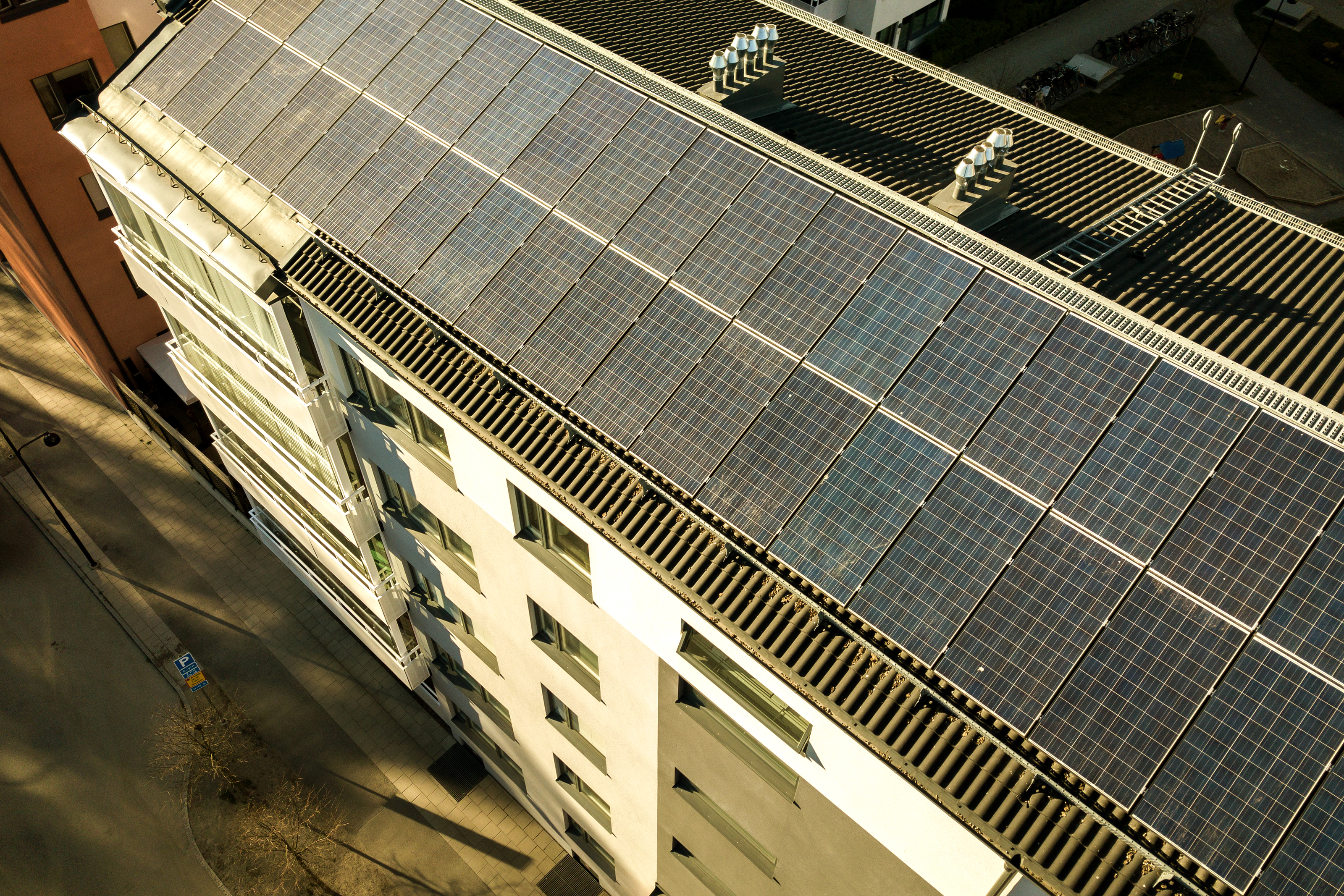
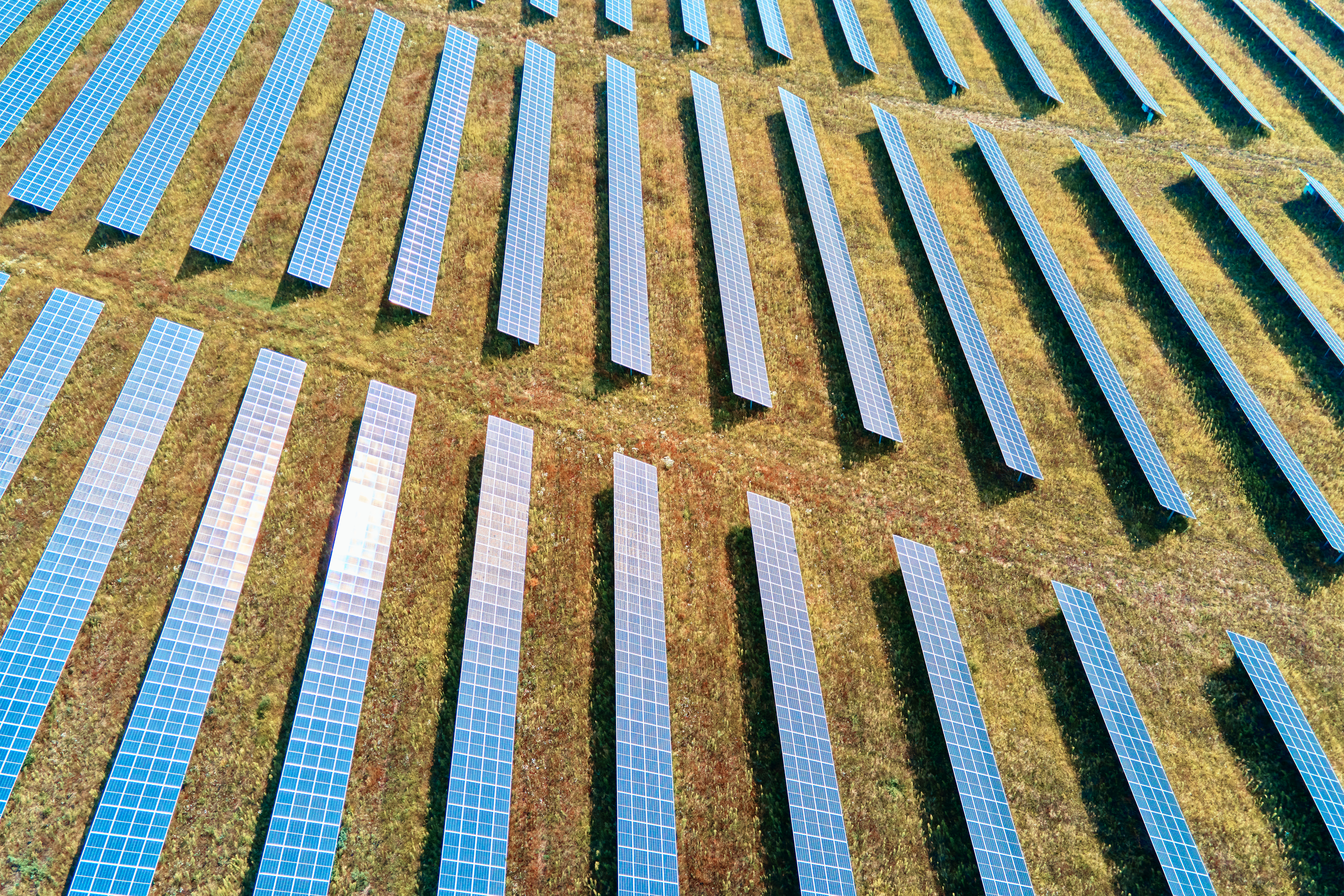
The ability of drones of providing remote visibility and benefits like saving on huge amount and man-power help the energy industry sectors as they heavily rely on the inspection data to maintain their safety standards.

Mining
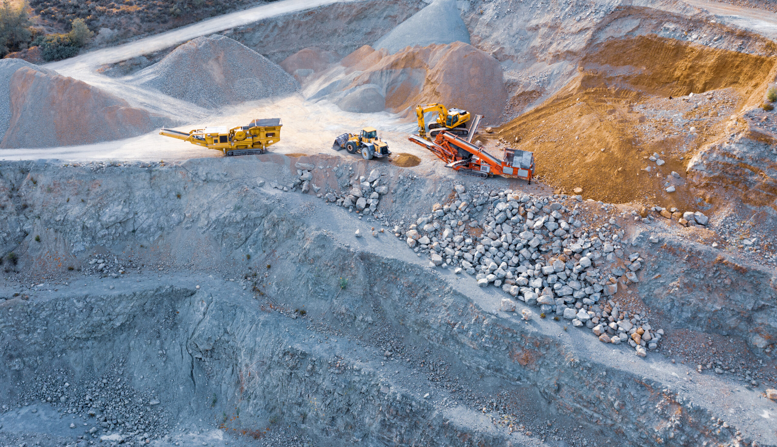
The quick and reliable images and videos captured by drone become very efficient for mining industry since providing the bird’s eye view is essential specifically because the land areas are typically too large.


